
SRINAGAR: The District Disaster Management Authority (DDMA) Srinagar has unveiled the ‘Srinagar Flood Action Plan 2024-2025’ to safeguard lives, property, and infrastructure through swift disaster response measures.
This comprehensive plan follows the devastating September 2014 floods, which caused extreme damage across much of the Kashmir region.
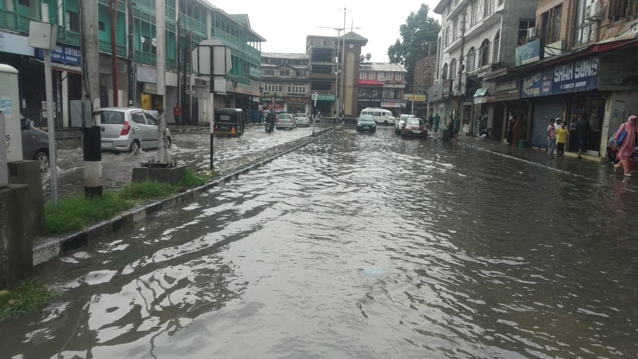
According to the Flood Action Plan 2024-2025, 37 areas in Srinagar have been identified as flood-prone. These include critical zones such as Rajbagh, Jawahar Nagar, and Gogji Bagh, which were extensively submerged during the 2014 disaster.
The plan incorporates mapping of flood-prone zones integrated with Google Maps to enhance visualization and preparedness. It also establishes Zonal Management Committees, each tasked with overseeing evacuation, relief camps, and emergency responses in high-risk zones, such as South, Khanyar, and Panthachowk tehsils.
On the infrastructure front, the plan outlines embankment reinforcements and flood protection walls at vulnerable spots to mitigate inundation risks.
For relief and evacuation, over 50 evacuation centers, including schools and community halls, have been identified to accommodate affected populations during emergencies.
The plan emphasizes the use of early warning systems, weather forecasting, and digital platforms to disseminate timely alerts. A centralized control room will coordinate responses and manage communications during flood emergencies.
Community engagement is a key component, with grassroots-level collaboration involving Mohalla committees, local NGOs, and volunteers to bolster on-ground response and recovery efforts. Training sessions and mock drills will also be conducted to prepare residents to handle emergencies effectively.
The document highlights lessons from the 2014 floods, prioritizing early warning systems, enhanced inter-agency coordination, and real-time communication for effective crisis management.
Dr. Bilal Mohi-Din Bhat, Deputy Commissioner and Chairperson of the DDMA, stated in the plan, “Our mission is to minimize loss of life and property. The plan is a robust framework to ensure preparedness at every level, from preventive measures to post-disaster rehabilitation.”
The plan underscores the need for better flood preparedness to ensure effective response measures during emergencies. It also emphasizes the importance of flood prevention and mitigation strategies to reduce vulnerability in the district.
Notably, the 2014 floods resulted in widespread destruction and immense loss of life and property in Kashmir.
Officials stated that the 2014 flood discharge was estimated at 1,15,218 cusecs upstream at Sangam and 72,585 cusecs downstream at Ram Munshi Bagh, marking the highest ever recorded on the Jhelum River (Irrigation and Flood Control Department, 2014).
The floods caused the deaths of 282 people and damaged 2.53 lakh houses across Jammu and Kashmir. Approximately 60% of Srinagar’s area was submerged, with water depths reaching up to 16 feet in localities like Rajbagh, Jawahar Nagar, and Gogji Bagh. The inundation period lasted approximately 25 days in residential areas, including the Central Business District (CBD). Over 0.6 million people were stranded in submerged housing colonies for more than a week without access to drinking water, food, or other essentials. (KNO)


