
by Spencer Feingold and Andrea Willige
The world’s key shipping waterways are only one part of the wider transport challenges supply chains face. The climate crisis, geopolitical instability and congestion are all having an impact, while societal factors, such as labour disputes and the rising cost of living, are also contributing to the situation.
In recent years, numerous incidents have disrupted the world’s most important trade waterways, impacting supply chains across industries and economies.
The upheavals include COVID-19 pandemic lockdowns, the Ever Given getting stuck in the Suez Canal, persistent drought at the Panama Canal, Russia’s blockade of Ukraine’s Black Sea ports and the ongoing attacks on ships in the Red Sea, to name a few.
Disruptions at key ocean trade routes can significantly impact the global economy given that 90% of traded goods continue to be shipped by sea, according to the International Maritime Organization.
Here are five of the most important waterways for global trade:
The English Channel
The English Channel is the busiest ocean shipping lane in the world. More than 500 vessels go through it every single day to get from the North Sea to the Atlantic and from the United Kingdom to continental Europe – and vice versa.
Every year, more than 16 million people and 5 million trucks pass through the Channel’s roughly 170 ports and harbours. Major ports include Portsmouth, Le Havre, Cherbourg and Brest.

The Malacca Strait
Located between Sumatra Island in Indonesia and the Malay Peninsula, the Malacca Strait interconnects the Indian and Pacific Oceans. It extends from the Andaman Sea through the Strait of Singapore to the South China Sea and connects many of Asia’s major economies, including Japan, Taiwan, South Korea and India.
Around 94,000 ships pass through the Malacca Strait every year or use more than 40 ports. Together, the ships carry around 30% of all traded goods globally.
Already prone to congestion and collisions, the strait is expected to exceed its capacity by the end of the decade as shipping traffic continues to grow. Thailand has proposed a 100km “landbridge” at the narrowest part of the Malay Peninsula, where goods could be offloaded and transported by rail and road, avoiding the Malacca Strait.

The Hormuz Strait
The Hormuz Strait is wedged between Iran and Oman and links the Persian Gulf with the Gulf of Oman and the Arabian Sea. As the main shipping route for oil from the Middle East, the strait sees a fifth of the world’s oil consumption passing through it daily – around 21 million barrels. It also carries 20% of global liquefied natural gas every year.
To help manage capacity and avoid collisions, the strait operates a two-lane traffic system, in which inbound vessels use one lane and outbound vessels use the other.
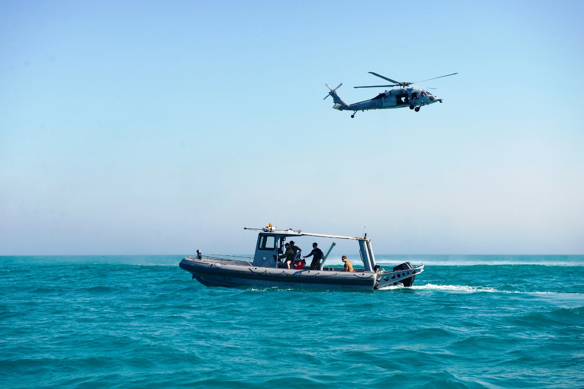
Like shipping in the nearby Red Sea, security and geopolitical tensions have been a concern for shipping companies operating in the Hormuz Strait.

The Suez Canal
The Suez Canal in Egypt connects the Mediterranean with the Red Sea and is a dividing line between Africa and Asia. The canal, which is at the opposite end of the Red Sea and Gulf of Aden’s Bab Al Mandeb strait, is the shortest maritime route from Europe to Asia and allows ships to avoid the long trip around South Africa’s Cape of Good Hope.
The modern Suez Canal was completed in 1869 when Egypt was under French occupation. After several enlargements, the canal is now close to 200km long and sees on average over 20,000 vessel crossings every year.
The Suez Canal has long played a strategic role in both trade and geopolitics. In recent months, the canal has been affected by attacks on commercial ships in the Red Sea, causing canal revenue to plummet.

The Panama Canal
The Panama Canal connects the Atlantic and Pacific Oceans and has been a significant waterway for global trade since its completion in 1914.
The geography and construction of the Panama Canal require locks to lift and lower ships as they make their way across the Isthmus of Panama. It has been expanded over time to help even larger vessels avoid a long journey around Cape Horn at the tip of South America. The canal connects nearly 2,000 ports in 170 countries and facilitated more than 14,000 transits in 2023.

However, prolonged drought has greatly impacted the Panama Canal. Too little water has been available from the lakes that feed the canal’s locks, which require over 100,000 cubic meters of water. This has, in turn, enabled a much smaller number of vessels to pass and upped waiting times from a few hours to weeks.
The Panama Canal is adapting to counter the effects of drought and the climate crisis. Water-saving measures, for example, have been put in place and ships have had to lower their draft to continue using the locks.
Boosting supply chain resilience
The world’s key shipping waterways are only one part of the wider transport challenges supply chains face. The climate crisis, geopolitical instability and congestion are all having an impact, while societal factors, such as labour disputes and the rising cost of living, are also contributing to the situation.
To address these complexities and develop global supply resilience, the World Economic Forum’s Global Supply Resilience Initiative seeks to establish shared supply chain data systems so that visibility can be improved and bottlenecks avoided. This includes port and airport congestion, transit delays, natural disasters and socio-economic disruptions.
(This World Economic Forum article is republished under the Creative Commons Attribution-NonCommercial-NoDerivatives 4.0 International Public License)


