SRINAGAR: Nearly one-third of Srinagar’s municipal wards face high or very high earthquake vulnerability. The most exposed areas are concentrated in the densely built-up downtown. Narrow roads, closely packed buildings and a high risk of buildings pounding against one another could make an earthquake particularly damaging in these areas, a scientific study has found.
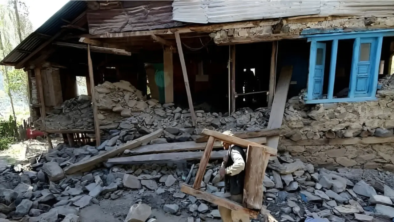
The study says about 17 sq km, or 7 per cent of Srinagar’s total area, falls in the high and very high vulnerability categories. These areas cover 23 of the city’s 69 municipal wards. Another 69 sq km, or 28 per cent of the city, has moderate vulnerability. This covers 19 wards. The remaining 160 sq km, or 65 per cent, falls in the low and very low vulnerability categories across 27 wards.
The findings are contained in a paper, Earthquake vulnerability assessment of the built environment in the city of Srinagar, Kashmir Himalaya, using a geographic information system. The paper was published on April 27, 2023, in Natural Hazards and Earth System Sciences, a journal published by Copernicus Publications on behalf of the European Geosciences Union.
The paper was written by Midhat Fayaz, Shakil A Romshoo, Irfan Rashid and Rakesh Chandra. Fayaz and Rashid are from the Department of Geoinformatics, University of Kashmir. Romshoo is associated with the Department of Earth Sciences, University of Kashmir, and the Islamic University of Science and Technology, Awantipora. Chandra is associated with the Department of Earth Sciences, University of Kashmir, and the Department of Geology, University of Ladakh.
The researchers assessed the earthquake vulnerability of Srinagar’s built environment using a geographic information system. They examined the city’s 69 municipal wards. The study covers about 246 sq km and a population of around 1.5 million.
The assessment considered six major structural and urban indicators. These included building geometries, building density, building height, building typology and material, the possibility of pounding between buildings, and the road network and road width.
The researchers combined geographic information system analysis with two decision-making techniques. These were the analytical hierarchy process, or AHP, and the technique for order preference by similarity to an ideal solution, or TOPSIS.

Vulnerability Map
The researchers divided Srinagar into five vulnerability classes. Nine wards were placed in the very high category. Fourteen were classified as highly vulnerable. Nineteen fell in the moderate category. Seventeen were classified as low vulnerability. Ten were placed in the very low category.
The study found that vulnerability is not evenly distributed across Srinagar. The central and downtown areas emerged as the most vulnerable parts of the city.
The researchers link this pattern to several factors. Downtown Srinagar has a high concentration of buildings. Many structures stand close to one another. Roads are often narrow. Open and green spaces are limited.
The historic pattern of urban development also contributes to the concentration of risk. The outer and relatively newer parts of the city generally have wider roads and lower building densities. These areas therefore show lower levels of structural vulnerability.
The study mapped nearly 2.5 lakh buildings across Srinagar. About 86.4 per cent of them are residential. Commercial buildings account for about 7.1 per cent. The rest include educational, religious, defence, health and industrial structures, among others.
The researchers also carried out ground validation at about 8,000 points to support the assessment.
Building Stock
The composition of Srinagar’s building stock is a major concern in the study.
About 98 per cent of the city’s buildings are masonry structures. The researchers describe masonry buildings as having poor seismic resistance.
Building height was also considered in the assessment. Nearly half of the buildings are double-storeyed. About 42 per cent are triple-storeyed. The study recorded 307 buildings with more than three floors.
The researchers note that the shape of a building can also influence its earthquake performance. Some schools, colleges, government offices, hospitals and commercial complexes have irregular shapes.
These include O, L, U, T and H-shaped structures. Such irregular configurations can make buildings more vulnerable during strong ground shaking, the study says.
Clusters of smaller buildings present another concern. Their close spacing can increase the possibility of one building striking another during an earthquake.

Pounding Risk
The study identifies building-to-building pounding as one of the important factors behind Srinagar’s vulnerability.
About 65 per cent of the buildings in the city have a high possibility of pounding with neighbouring buildings. The researchers attribute this to inadequate separation distances between structures.
During strong ground motion, buildings standing too close to one another can collide. This can add to structural damage.
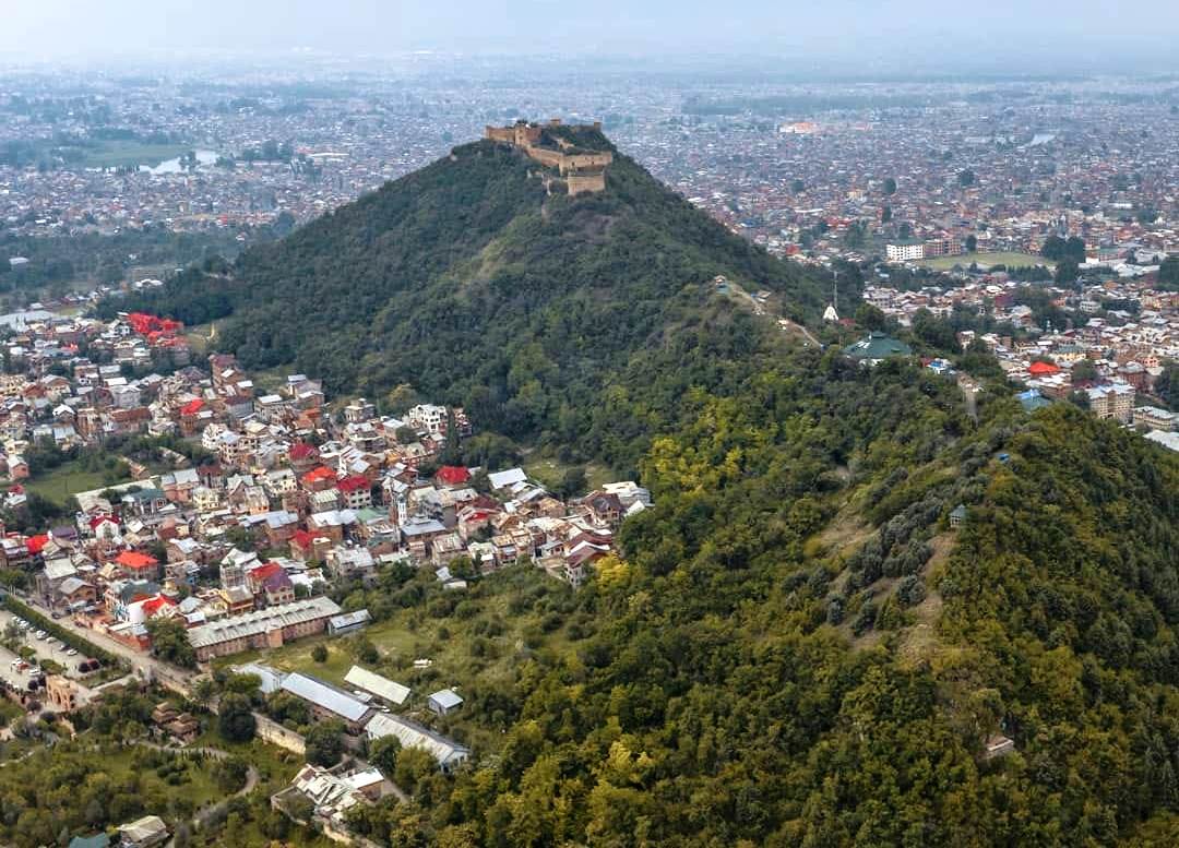
The problem is particularly significant in densely built-up parts of central Srinagar. The researchers found that many of the most vulnerable wards are also among the city’s most densely populated built-up areas.
Building density across Srinagar averages about 10 buildings per hectare. But the figure rises sharply in several downtown wards.
Seventeen downtown wards have more than 15 buildings per hectare. Ward 43, covering the Jamia Masjid area, has the highest building density at 46 buildings per hectare.
Tarabal, or Ward 39, follows with 39 buildings per hectare. Aali Kadal, ward 29, has a density of 30 buildings per hectare.
The researchers say high building density can increase the possibility of structural damage. It can also make rescue and evacuation more difficult after an earthquake.
Narrow Roads
The road network is another major concern identified by the study.
Srinagar has a total road length of about 2,246 km. But the width and accessibility of roads vary considerably across the city.
Many roads in the downtown area are narrow. Several wards have average road widths of less than seven feet.
The researchers say narrow roads can seriously affect emergency response after an earthquake. They can restrict the movement of rescue teams and emergency vehicles.
They can also make evacuation difficult. The problem could become more serious if buildings collapse onto roads or if debris blocks access.
The study therefore treats road width as an important component of the city’s overall vulnerability.
Geological Setting
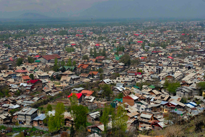
The researchers place Srinagar within a wider seismic setting that makes earthquake preparedness particularly important.
Previous studies cited in the paper have identified the Kashmir region as having high to very high seismic hazard and liquefaction potential.
The Jhelum also follows or runs parallel to the Jhelum fault at several locations, according to the study.
The researchers did not use these geological factors to distinguish vulnerability between individual wards. They treated the broader geological conditions as largely constant across the study area.
Instead, the assessment focused on differences in the built environment. It examined how buildings, their density, their height, their spacing and the road network could affect vulnerability from one part of Srinagar to another.
Critical Gaps
The study also draws attention to Srinagar’s emergency preparedness.
It points to gaps in critical infrastructure. These include trauma hospitals and shelters that could be required after a major earthquake.
The researchers say poor road access in some areas could further increase the loss of life and property. Emergency services may face difficulties reaching affected neighbourhoods.
The lack of open spaces is another concern. Open areas can provide temporary refuge after an earthquake. They can also support emergency operations and evacuation.
The study therefore identifies the preservation and creation of open and green spaces as an important part of reducing future risk.
Wetland Threat
The researchers also raise concerns about continued construction in wetlands and marshy areas.
They particularly flag development in the southern parts of Srinagar. Construction in such areas could increase earthquake damage vulnerability, they say.
The concern relates to the nature of the ground as well as the pattern of urban expansion. The study places this issue within the broader problem of Srinagar’s rapid and often dense development.
The authors argue that earthquake vulnerability should therefore be considered in decisions on future urban expansion.
Planning Ahead
The paper recommends strict implementation of building codes across Srinagar.
It also calls for the retrofitting, restoration and rehabilitation of vulnerable buildings. Existing structures in high-risk areas, the researchers say, need particular attention.
The study recommends avoiding further infrastructure development in densely populated areas identified as highly vulnerable. Instead, the authors call for the creation and preservation of open and green spaces in such locations.
Emergency facilities should also be strengthened in very high and high vulnerability zones. The researchers specifically recommend facilities such as fire stations, shelters and specialised medical services.
The authors also call for disaster mitigation measures before and after earthquakes. Capacity building and public awareness are identified as important parts of preparedness.
The vulnerability map developed by the study, they say, can be used in future urban planning. They specifically recommend that the findings be considered while preparing Srinagar’s Master Plan 2035.
The researchers say future development should favour safer, low-density locations for housing and infrastructure. Such planning, combined with stronger building regulations and emergency preparedness, could help reduce the potential impact of a major earthquake on Srinagar.