SRINAGAR: A study by researchers from the Central University of Jammu has identified 34 locations across Jammu and Kashmir where seasonal livestock migration routes come close to protected wildlife areas, creating potential interfaces for the transmission of foot-and-mouth disease (FMD). Published in Virus Disease in July 2026, the study mapped protected areas against pastoral migration routes to identify recurring wildlife–livestock interfaces where FMD transmission could potentially occur.
The study, Exploring hotspots for foot and mouth disease transmission at wildlife-livestock interfaces in Union Territory of Jammu & Kashmir, India, is authored by Shubani Kumari of the Centre for Molecular Biology, Central University of Jammu, and Vinita Sharma of the Wildlife Conservation Research Laboratory, Department of Zoology, Central University of Jammu.
Disease Threat
Foot-and-mouth disease is described in the study as an extremely contagious viral disease affecting livestock and a range of wild hoofed animals. The researchers examined whether repeated contact between domestic livestock and wildlife along pastoral migration corridors could create opportunities for the virus to move between animal populations.
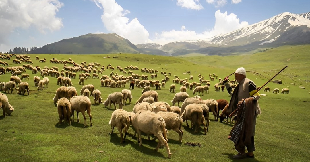
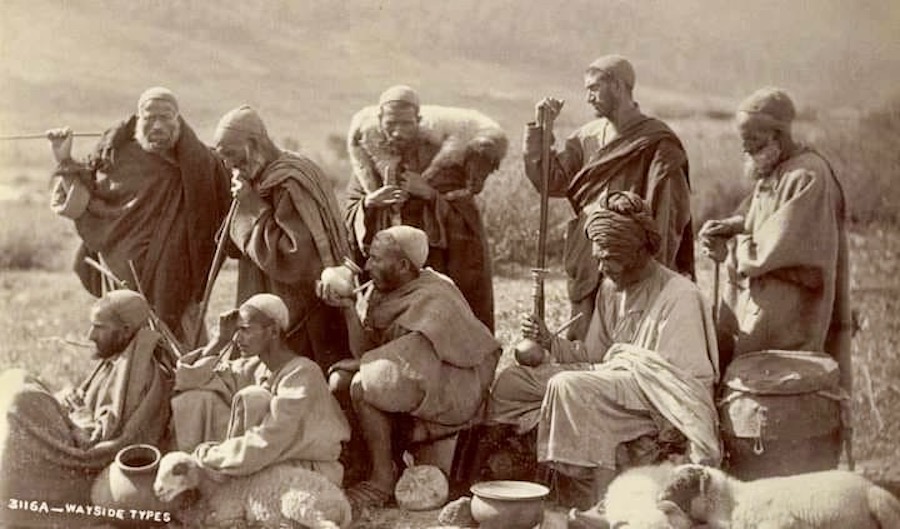
Gujjar and Bakarwal communities undertake seasonal migration with their livestock, moving between lower-elevation winter grazing grounds and higher-altitude summer pastures. In Jammu and Kashmir, the study identifies movement from winter grazing areas in Jammu, Rajouri and Poonch towards summer pastures in the Pir Panjal and adjoining Greater Himalayan regions.
Protected Areas
The researchers examined the relationship between these routes and Jammu and Kashmir’s protected-area network. The study states that the Union Territory has 48 protected areas, comprising four national parks, 14 wildlife sanctuaries and 30 conservation reserves, including 16 Wetland Conservation Reserves.
By overlaying protected-area boundaries with mapped pastoral migration routes, the researchers identified 34 interfaces across 15 protected areas. These included three national parks, three wildlife sanctuaries, eight conservation reserves and one wetland conservation reserve.
The interfaces were classified according to distance from protected-area boundaries. Locations within five kilometres were classified as high-risk zones; those between 5.1 and 10 kilometres as Buffer Zone-1; and those between 10.1 and 15 kilometres as Buffer Zone-2.
Critical Interface
The closest identified interface was between Lachipora Wildlife Sanctuary and Baramulla, where the relevant pastoral location was only 0.37 kilometres, or about 370 metres, from the protected area. The paper identifies this as the most critical spatial interface in its analysis.
Other close interfaces included Brien Nishat–Sangri Khonmoh at 2.73 kilometres, Dachigam–Sangri Khonmoh at 3.16 kilometres, Sheshara–Rajouri at 3.34 kilometres and Kazinag–Baramulla at 4.56 kilometres.
Across all identified sites, distances ranged from 0.37 to 9.95 kilometres, with a reported mean of 7.15 kilometres and median of 8.42 kilometres.
District Pattern
The interfaces were unevenly distributed. Baramulla recorded 11, followed by Bandipora with nine, Rajouri with eight and Ganderbal with seven. Together, the four districts accounted for more than 65 per cent of the interfaces identified.
Among the Kashmir locations were Lachipora Wildlife Sanctuary, Kazinag National Park, Dachigam National Park, Brien Nishat Conservation Reserve, Salim Ali City Forest National Park, Shallabugh Wetland Reserve, Khonmoh Conservation Reserve and Achabal Conservation Reserve, along with several other conservation areas.
The study recorded interfaces involving Achabal Conservation Reserve. The nearest pastoral locations listed were Kamad-Anantnag, at distances of 8.52 and 8.61 kilometres, and Vessu, at 9.34 kilometres. These were classified within Buffer Zone-1 rather than the high-risk category.
The researchers also highlighted wetland-associated interfaces. Shallabugh Wetland Reserve, about 7.41 kilometres from the identified pastoral location, was classified as a secondary-risk interface.
The study notes that wetlands may create indirect interaction because wildlife and livestock can share water resources and surrounding areas, making contaminated grazing areas and shared water sources possible pathways.
Spatial Mapping
The study used geospatial mapping, proximity analysis and spatial clustering to identify hotspots. Protected-area boundaries and pastoral migration routes were digitized using the WGS84 coordinate system. Five-, 10- and 15-kilometre buffers were created around protected areas and intersected with pastoral routes.
The researchers also used DBSCAN, a density-based spatial clustering method, with an epsilon distance of 500 metres. The analysis identified four dominant hotspot clusters aligned with major pastoral corridors, suggesting that the interfaces were associated with recurring seasonal movement rather than being randomly distributed.
Disease Pathways
The researchers identify several possible FMD transmission mechanisms, including direct contact, contaminated grazing areas, shared water sources and fomites. The paper also discusses possible aerosol and contact-mediated transmission where livestock and wildlife occur in close proximity.
Importantly, the study describes the locations as plausible transmission hotspots, not confirmed outbreak sites. Its findings are based primarily on spatial proximity and animal movement patterns and do not establish that FMD is currently circulating at every mapped location.
The livestock considered included goats, sheep, cattle and buffalo, as well as donkeys, mules and horses involved in seasonal transhumance, adding complexity to disease surveillance.
The study frames its findings through a One Health approach, linking human, livestock, wildlife and environmental health. The researchers stress that protected areas do not themselves cause disease transmission; rather, opportunities for interaction may increase where wildlife habitats and pastoral corridors converge. They call for cooperation among veterinarians, conservationists, policymakers and pastoral communities.
Seasonal Pressure
A central finding is that potential disease risk changes with seasonal pastoral movement. Gujjar and Bakarwal communities move livestock according to grazing conditions, meaning the location and intensity of wildlife–livestock contact can vary during the year.
The researchers therefore recommend that disease monitoring account for seasonal migration rather than relying only on static geographical boundaries. Surveillance and preventive measures could be concentrated during periods when livestock movement brings domestic animals closer to wildlife habitats.
Vaccination Need
The study recommends seasonal vaccination as one of the principal measures for reducing the potential impact of FMD in high-risk areas, with particular attention to livestock moving through or near identified interfaces.
The paper also calls for improved monitoring and screening of livestock associated with Gujjar and Bakarwal communities to support earlier detection.
Community Role
The researchers place significant emphasis on pastoral communities in disease prevention. They recommend community-led monitoring and greater awareness about livestock immunization and disease hazards.
Rather than treating pastoral movement solely as a disease risk, the study proposes involving pastoralists directly in surveillance and prevention because they are most closely involved in seasonal livestock movement.
The paper also recommends buffer-zone management of livestock grazing in sensitive wildlife corridors during intensive seasonal movement, targeting areas where spatial analysis indicates particularly close proximity.
Early Warning
The researchers argue that the spatial information could support early-warning systems, allowing surveillance resources to be concentrated where pastoral routes repeatedly approach wildlife habitats.
They also propose real-time GIS applications for pastoralist alerts to provide location-specific information to herders and animal-health authorities during seasonal migration.
Future Research
The authors call for research beyond static mapping, including longitudinal FMDV Sero surveillance to determine how exposure changes over time and molecular epidemiological studies, including phylogenetic analysis, to better understand viral circulation.
They also propose combining disease surveillance with climate and migration modelling to examine how environmental changes and shifting pastoral routes could alter future wildlife–livestock interfaces.
Other proposed interventions include geo-fenced vaccination programmes around high-risk clusters and assessment of the socioeconomic costs of potential outbreaks.