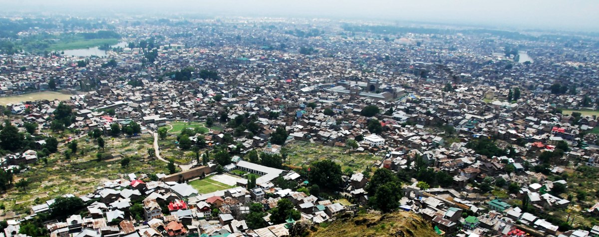
SRINAGAR: Srinagar’s built-up area increased by 75.58 per cent between 2000 and 2020, while vegetation cover fell by 40.2 per cent, water bodies declined by 25.41 per cent, and dense forest shrank by 62.74 per cent, a study using satellite imagery has found, warning that the city’s rapid expansion is putting its ecological systems and ability to regulate floods and water at risk.
The study, Spatiotemporal analysis of urban expansion in Srinagar city, Kashmir, published by Springer in the journal Discover Cities on June 4, 2024, found that Srinagar’s built-up area expanded from 34.53 sq km in 2000 to 60.63 sq km in 2020. Its share of the study area consequently rose from 13.35 per cent to 23.44 per cent.
At the same time, vegetation cover declined from 43.87 sq km to 26.23 sq km, a 40.2 per cent reduction. Water bodies fell from 19.36 sq km to 14.44 sq km, while dense forest declined from 1.02 sq km to just 0.38 sq km.
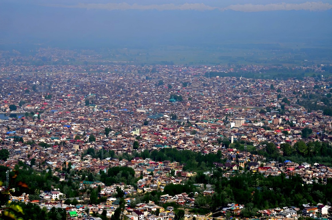
The researchers say the changes are not merely a record of physical expansion. The conversion of green and water-rich areas into built-up surfaces is also altering Srinagar’s thermal environment, with the city’s urbanised core showing substantially higher land-surface temperatures.
The study was authored by Wani Suhail Ahmad (University of Ladakh, Kargil); Saleha Jamal and Amit Sharma (Aligarh Muslim University, Aligarh); and Ishfaq Hussain Malik of (School of Geography, University of Leeds, UK). Malik is the corresponding author.
The authors analysed Srinagar’s land-use and land-cover changes between 2000 and 2020 using satellite imagery and remote-sensing techniques. They used Landsat 4–5 TM and Landsat-8 OLI datasets obtained from the US Geological Survey, with a spatial resolution of 30 metres, and analysed land-use/land-cover (LULC), land-surface temperature (LST), Normalised Difference Vegetation Index (NDVI), Fractional Vegetation Cover (FVC) and surface emissivity.

Built-Up Doubled
The most dramatic change was in the built-up footprint.
In 2000, built-up land covered 34.53 sq km, or 13.35 per cent of the study area. By 2020, it had reached 60.63 sq km, accounting for 23.44 per cent. The researchers calculated this as a 75.58 per cent increase, the largest change among all the land-cover categories examined.
The study identifies several areas as urbanisation hotspots, including Lal Chowk, Natipora, Hyderpora, Rajbagh, Nowgam, Dangarpora, the Dargah area, Chhatabal, Batamaloo and Bemina.
According to the researchers, population growth, migration and the search for employment and economic opportunities have driven much of this expansion.
But they also point to development and tourism-related construction.
The paper says that construction of hotels, artificial amusement parks, encroachment along the Jhelum and wetlands, what it describes as “unplanned urbanization”, industrial establishments and other development activities have contributed to the increase in built-up land.
The researchers further note that Srinagar’s metropolitan expansion has reached the outskirts of Pulwama district, including Pampore and Zafran Colony, as some residents move outward because of limited space and high land prices within Srinagar.
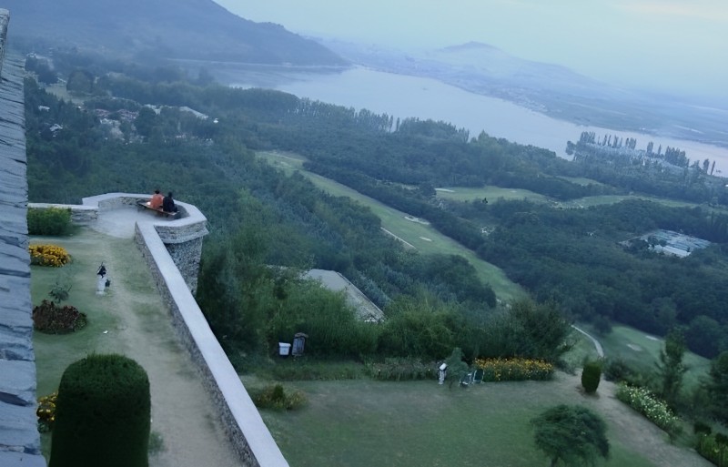
Hotels and restaurants have also expanded along the Jhelum and Dal Lake, the researchers say, linking tourism-oriented development with the increase in built-up area.
Vegetation Falls by 40%
One of the clearest ecological changes recorded by the study is the loss of vegetation.
Vegetation covered 43.87 sq km of Srinagar in 2000. By 2020, this had fallen to 26.23 sq km.
Its share of the study area dropped from 16.96 per cent to 10.14 per cent — a 40.2 per cent decline.
The researchers found the decline particularly pronounced in northern and eastern parts of the city, including Khaja Bagh Colony, Pahal, Mazgam and the Mughal Gardens.
They attribute the changes to population growth and development activities.
The paper warns that vegetation cover is now facing “a great threat”, with the potential to leave the city with inadequate urban green space in the future.
Forest Decline By 62.7%
Dense forest recorded an even sharper proportional decline.
The study estimates that dense forest occupied 1.02 sq km in 2000. By 2020, only 0.38 sq km remained, a 62.74 per cent decline.
Its share of the study area fell from 0.39 per cent to 0.14 per cent. The authors associate the loss with deforestation and conversion of forest areas to agricultural land.
Sparse forest also declined, from 0.76 sq km to 0.70 sq km, a 7.89 per cent reduction. The paper associates this change with intensive agricultural activity and the establishment of industries and factories.
Water Bodies Shrink by a Quarter
The study also records a substantial contraction in Srinagar’s water bodies.
Their area fell from 19.36 sq km in 2000 to 14.44 sq km in 2020, reducing their share of the study area from 7.48 per cent to 5.58 per cent.
The researchers calculate a 25.41 per cent decline.
The study specifically identifies changes around Dal Lake and Nigeen Lake.
It says the southern portion of Dal Lake around Boulevard Road and parts of Nigeen Lake in the north and northeast have experienced reductions. The researchers associate these changes with waste dumping, encroachment along lake banks and tourism activity.
They also say household, infrastructure and industrial waste entering the lakes has contributed to “large-scale siltation and pollution”.
The study links construction of hotels and other tourism infrastructure around Dal and Nigeen lakes to changes in their land cover.
Swamps, Open Spaces Down
Swamp areas fell from 6.93 sq km in 2000 to 6.36 sq km in 2020 — an 8.22 per cent decline. The researchers attribute this primarily to encroachment and development.
Open areas declined from 131.95 sq km to 124.39 sq km, a 6.02 per cent reduction.
The paper identifies construction of hotels, buildings and amusement parks in areas including Lal Chowk, Batamaloo and Boulevard Road as among the factors behind the shrinkage of open space.
Cropland Survives
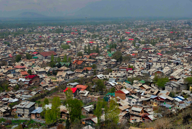
Crop area actually increased from 20.68 sq km in 2000 to 25.47 sq km in 2020, a 23.16 per cent increase.
The study says the increase occurred particularly in northern, northeastern and eastern parts of Srinagar, including areas around SKUAST-K, Akhon Mohalla, Mazgam, Syedpora and the Botanical Garden.
At SKUAST-K, the researchers associate the increase with agricultural diversification experiments involving crops and fruits including apples, rice and vegetables. On the city’s outskirts, they say the increase reflects the presence of rural areas where rice and vegetables continue to be cultivated.
Srinagar Gets Hotter
The study goes beyond mapping the physical expansion of the city. It examines how the changes are affecting land-surface temperature.
The researchers found that built-up areas have the highest LST values among the land-cover classes studied because surfaces such as concrete and asphalt absorb and retain heat. Vegetated areas, by contrast, help reduce temperatures through shading and evapotranspiration.
The recorded LST across the study area ranged from approximately 10.6°C to 26.13°C, with the urban core particularly sensitive to higher temperatures.
The authors say the pattern is consistent with an increasing urban heat-island effect.
“Urban sprawl, degradation of crop land and vegetation, encroachment, and an increase in built-up area” have all contributed to the observed urban heat-island intensity, the study says.
The researchers also found an inverse relationship between NDVI and LST: as vegetation density increases, land-surface temperature tends to fall.
In their analysis, NDVI values ranged from -0.06 to 0.29 in 2020. Areas with higher NDVI, including parks, gardens and forested areas, generally recorded lower LST, while built-up and barren areas with low or negative NDVI values absorbed more heat.
The ecological cost could extend to flooding and water security
The implications identified by the authors extend beyond temperature.
They warn that the loss of agricultural land and natural habitats has consequences for food security and biodiversity conservation.
More importantly for a city located on the Jhelum and surrounded by wetlands and other water systems, they caution that urban expansion into ecologically vulnerable areas could affect flood regulation and water purification.
Rapid growth of built-up land could also increase pressure on transportation, waste management and water supply.
The paper’s concern is therefore not simply that Srinagar is becoming more densely constructed. It is that the physical systems that help the city absorb, cool and regulate water are being progressively altered.
Land-use Controls
The researchers recommend comprehensive land-use planning and zoning restrictions, with ecologically sensitive areas such as wetlands and water bodies identified and protected through buffer zones and conservation measures.
They also advocate compact and mixed-use development to limit conversion of agricultural land and curb urban sprawl.
The authors argue that urban growth needs to be monitored continuously using remote sensing and GIS so that authorities can identify problem areas and assess whether planning policies are working.
The study concludes that Srinagar needs to reconcile urban growth with protection of its ecological systems.
Its central warning is stark: the city’s vegetation cover is under “great threat”, while unchecked expansion into vulnerable areas could undermine flood regulation, water purification, biodiversity and other environmental functions.
Method and Limitations
The researchers classified Srinagar into eight land-use/land-cover categories, water bodies, crops, vegetation, dense forest, sparse forest, open land, built-up land and swamp, using supervised maximum-likelihood classification.
They used approximately 200 randomly selected training samples for accuracy assessment. Overall classification accuracy was 85 per cent for 2000 and 88.5 per cent for 2020, with Kappa statistics of 0.8286 and 0.8686 respectively.
But the researchers acknowledge an important limitation: they could not analyse the city’s land-cover changes for the three years immediately preceding publication because reliable high-resolution datasets were unavailable. In other words, the study’s principal comparison ends in 2020, rather than providing a satellite-based assessment of Srinagar’s changes through 2024.