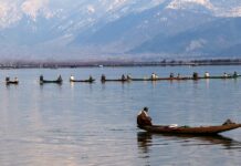
SRINAGAR: A new study has found geomorphological evidence suggesting that the Kashmir Valley is accommodating a large-scale right-lateral, or dextral, tectonic movement along a Central Kashmir Fault, a structure whose prominent role in the region has not previously been conclusively established. The study says the movement has distorted river courses, shifted drainage divides and may have caused a major episode of river capture and flow reversal near Banihal, leaving behind what scientists call a wind-gap.
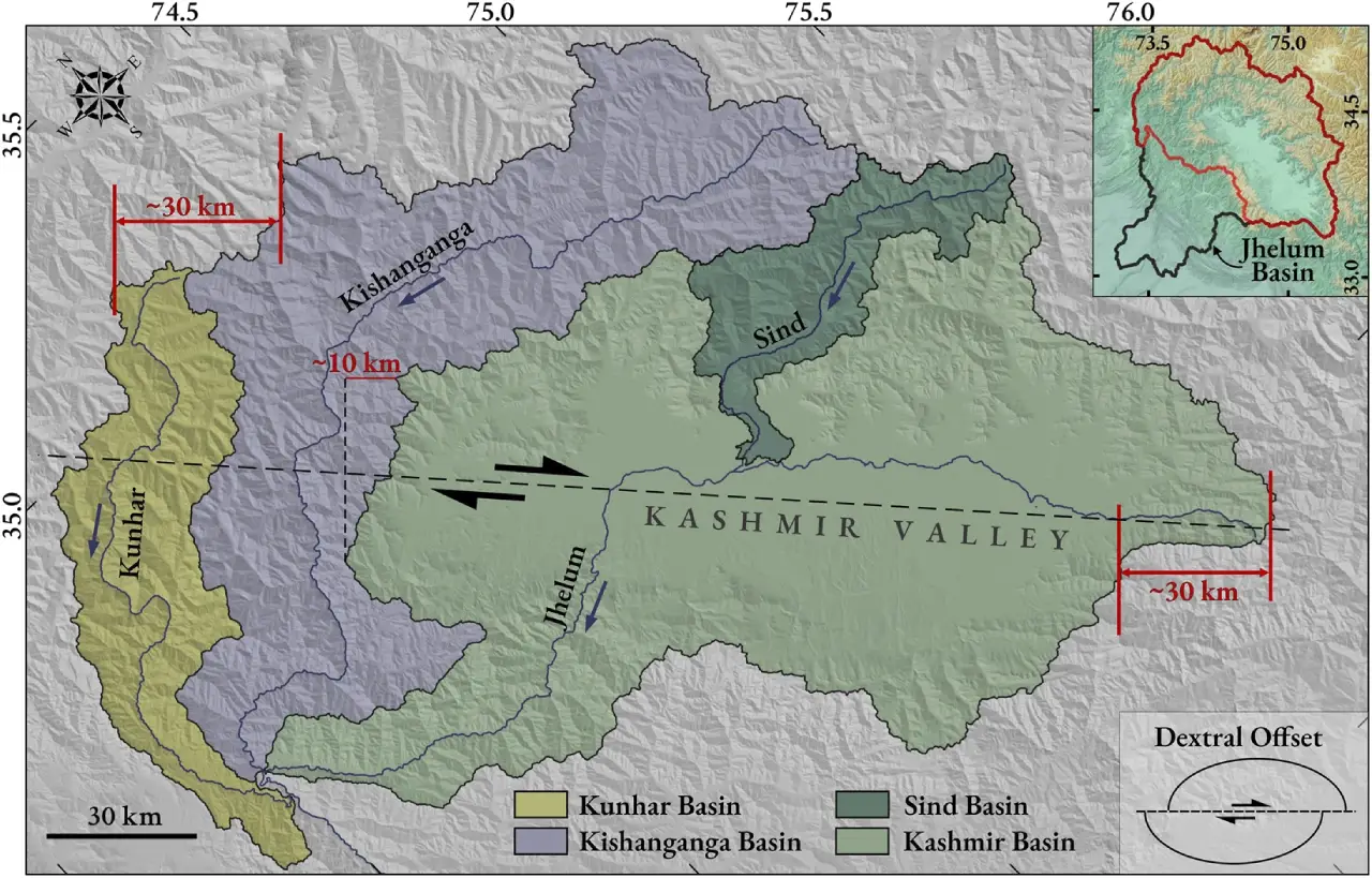
The findings are important because the Kashmir Valley lies within what is commonly called the Kashmir Seismic Gap, the Himalayan segment between the epicentral regions of the 1905 Kangra earthquake and the 2005 Kashmir earthquake. The researchers say their analysis provides geomorphic evidence consistent with dextral shear along a northwest-southeast axis corresponding to the postulated Central Kashmir Fault (CKF). They estimate that the process could have produced about 30 km of offset over the past 4–6 million years, corresponding to a dextral-slip rate of roughly 5–7 mm a year.
The study, The missing large-scale dextral-shear and rotation within the “Kashmir seismic gap”: geomorphological inferences, was authored by Aditya Kumar Verma, Tejpal Singh and Mahesh G Thakkar and published on August 21, 2026, in Frontiers in Earth Science, an open-access journal. Verma is associated with the CSIR-Central Scientific Instruments Organisation, Chandigarh, while Singh is the corresponding author and Thakkar is associated with the Birbal Sahni Institute of Palaeosciences, Lucknow.
The authors describe their evidence as “clear and compelling” for dextral shear being accommodated across the Kashmir Valley and adjoining mountains along the CKF. They say the evidence comes not from a newly excavated fault trench but from the way the landscape itself has been deformed — particularly the offsets of drainage divides, the changing directions of rivers and the reorganisation of drainage networks.
What does ‘dextral shear’ mean?
In simple terms, shear occurs when two blocks of the Earth’s crust move sideways relative to each other. In a dextral, or right-lateral, strike-slip movement, an observer standing on one side of the fault would see the opposite block moving towards the right.
The significance in Kashmir is that earlier geodetic measurements, measurements made using techniques such as GPS to detect extremely small movements of the Earth’s surface, had indicated that the region was accommodating about 5 mm of dextral shear every year, but researchers had not been able to confidently identify a prominent fault in the region responsible for that movement, apart from the Karakoram Fault farther north.
The new study proposes that the Central Kashmir Fault, running broadly along the elongation of the Kashmir Valley, could be accommodating this otherwise “missing” movement.
The researchers arrived at the conclusion by studying the landscape through remote sensing and GIS, or Geographic Information Systems. They used a digital elevation model derived from ALOS-PALSAR satellite data, with a spatial resolution of 12.5 metres, and analysed drainage patterns, basin geometry, elevation and the shape and stability of drainage divides.
Rivers as evidence of movement underground
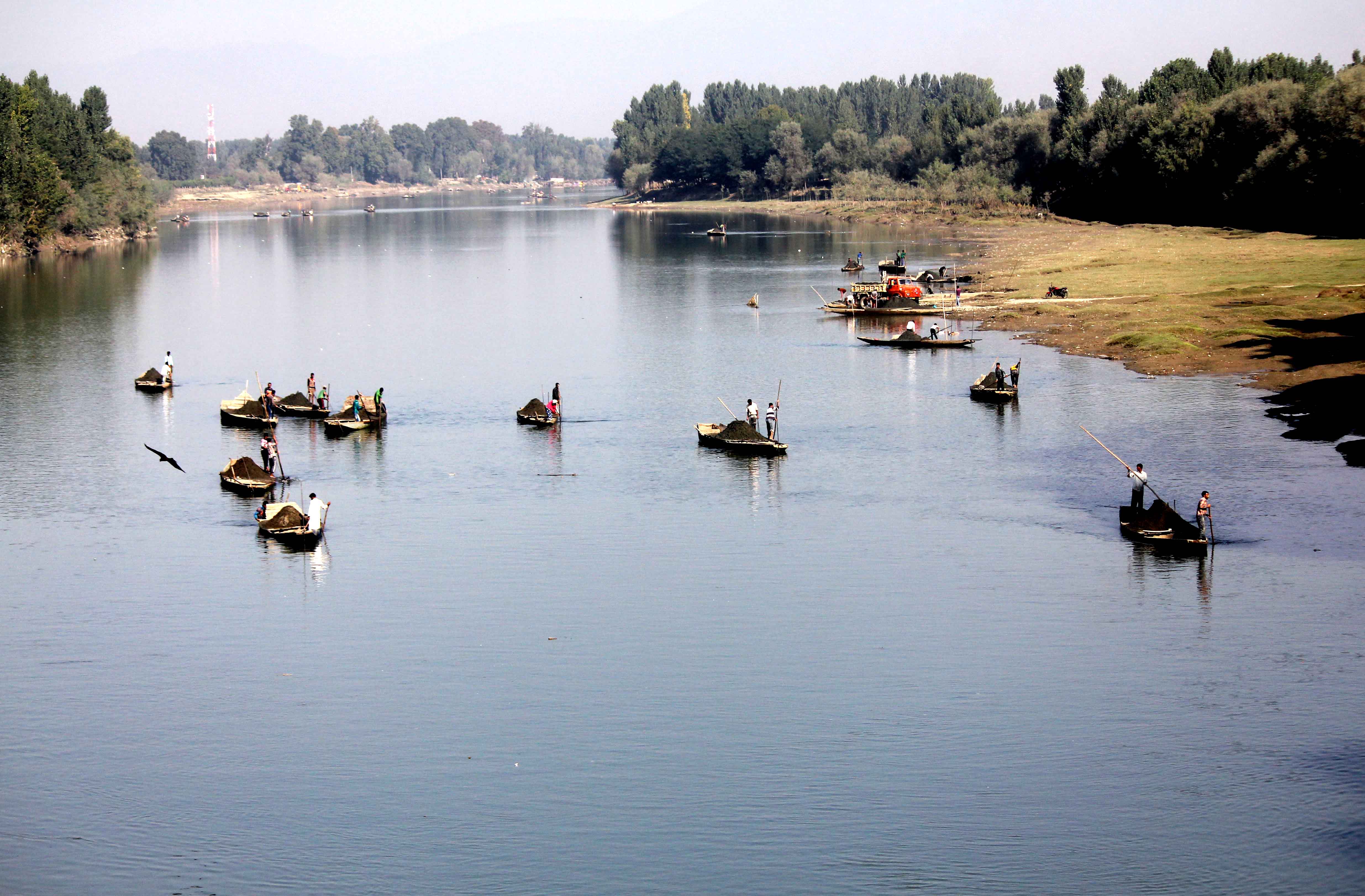
One of the study’s most accessible clues is the behaviour of Kashmir’s rivers.
Rivers generally follow the slope of the land, flowing downhill. But when the ground itself is slowly deformed by tectonic forces, a river can be forced to alter its course. Over thousands or millions of years, such changes can leave a visible signature in the landscape.
The researchers found pronounced deviations in the courses of the Kunhar, Kishanganga, Sind and Jhelum rivers. The Kishanganga, for example, shows a westward deflection of about 83.5 km, while the Kunhar, Sind and the Jhelum within the Valley show lateral deflections of about 46.2 km, 40.6 km and 44.2 km respectively, according to the study.
The researchers say the pattern is not random. As rivers approach the proposed Central Kashmir Fault, their courses increasingly conform to its orientation, suggesting that the fault zone has exerted structural control over the drainage network.
The 30-km clue
Another important observation comes from the drainage divides, ridgelines separating rivers flowing into different drainage systems.
The researchers found that the drainage divides on opposite sides of the Jhelum basin display complementary offsets. When the wider Jhelum basin, including its western tributaries such as the Kunhar and Kishanganga, is considered as a single system, the researchers find an offset of roughly 30 km on both sides.
They argue that this consistency is evidence that the drainage system has been affected by a common tectonic force operating along the axis corresponding to the CKF.
For a lay reader, the finding can be visualised as a large piece of fabric being slowly pulled and shifted sideways. Features originally lining up across the fabric become displaced. In this case, the researchers are seeing similar displacement in features carved into the Earth’s surface by rivers.
A river appears to have been ‘stolen’
Perhaps the most striking evidence identified by the study is near Banihal, where the researchers propose that a river once flowing southwards was effectively captured by another drainage system.
In geological terminology, this is called river piracy or drainage capture. It does not mean that a river literally changes direction overnight. Rather, over long geological periods, tectonic movement and erosion can cause one stream to extend into the drainage area of another and capture part of its flow.
The study says that a south-flowing drainage near Banihal was beheaded, while a northern tributary was captured by the Jhelum system within the Valley. The abandoned or disconnected part of the former drainage remains visible in the landscape.
This is where the term wind-gap becomes important.
A wind-gap is a low point or pass on a ridge that is interpreted as the remnant of an old river channel after the river has ceased to flow through it. In this case, the researchers identify a conspicuous wind-gap near Banihal as evidence of the former drainage configuration.
They also found deposits of sand, silt and boulders downstream that, they say, are inconsistent with the present stream and provide evidence supporting a past episode of river piracy.
The authors reconstruct the process in stages: rivers initially followed the regional southward slope; continuing right-lateral movement then displaced their channels; eventually some streams became disconnected, while others became integrated into a reorganised drainage network flowing towards the Jhelum.
What is the ‘χ analysis’?
One of the more technical parts of the study involves something called χ (chi) analysis.
Put simply, χ analysis is a mathematical way of examining the shape of river networks to determine whether drainage systems are in equilibrium or whether one side of a drainage divide has an advantage over the other.
A drainage divide is simply a ridge separating two river systems. If streams on one side are more capable of eroding headwards, meaning their channels progressively cut back towards their sources, they may eventually capture drainage from the other side.
The researchers use differences in χ values between competing streams to estimate whether a divide is likely to move and in which direction. Their results indicate that the drainage divides around the Kashmir Valley are not in equilibrium and may be responding to the tectonic deformation associated with the CKF.
In the northeastern part of the CKF, the researchers say the divide tends to migrate westward, while southwest of the fault it tends to move eastward. They interpret this as evidence that the river systems are actively adjusting to tectonic displacement.
Where does the rotation come from?
The proposed movement is not viewed in isolation.
The study places the CKF between two major structures, the Jhelum Fault on the west and the Kishtwar Fault on the east. Both are described by the researchers as sinistral, or left-lateral, faults.
The authors propose that movement along these bounding faults causes the tectonic blocks between them to rotate anticlockwise. That rotation can, in turn, generate the right-lateral movement observed along the CKF.
Their simplified model suggests that an anticlockwise rotation of about 20 degrees could produce approximately 30 km of dextral offset between tectonic blocks. The researchers stress that the rotational component is not yet tightly constrained and that the model is intended as a first-order framework rather than a complete description of the Valley’s deformation.
Does this mean a major earthquake is imminent?
The study does not make such a prediction.
The term “seismic gap” itself can be misleading if interpreted as a countdown to an earthquake. In earthquake science, it refers to a segment of an active fault system or plate boundary that has gone for a relatively long period without a major earthquake. Such areas may accumulate strain and therefore warrant closer study for seismic hazard assessment, but identifying a seismic gap does not establish when an earthquake will occur.
The researchers instead argue that understanding the hidden deformation is important for assessing the tectonic and seismic behaviour of the Kashmir Himalaya.
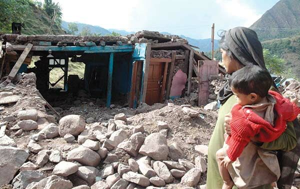
The Valley lies between the regions associated with the 1905 Kangra earthquake and the 2005 Kashmir earthquake. The latter had a magnitude of Mw 7.6 and ruptured a large section of the Balakot-Bagh Fault. The region has also experienced other significant earthquakes, including events around Kishtwar in 2013. Historical records cited by the authors document earthquakes in the region going back to at least 883 CE, although reliable quantitative information about many of the older earthquakes is limited.
A fault still needing to be mapped
The researchers acknowledge an important limitation: the study provides geomorphological evidence for the proposed structure, but detailed physical mapping of the fault itself is still needed.
They note that there is currently no palaeoseismic evidence establishing the CKF in the manner required for a more complete reconstruction of its earthquake history. However, they argue that the geomorphological evidence, considered alongside existing geodetic and seismic studies, makes a strong case for a large dextral strike-slip fault along the central axis of the Kashmir Valley.
The paper concludes that detailed mapping of the individual fault strands of the CKF and other active faults in the Valley will be crucial to obtain a clearer picture of the region’s tectonic evolution and earthquake history.
In essence, the researchers are reading the Kashmir landscape as a geological record. The bends of its rivers, the displacement of its ridges and even the apparently anomalous gap near Banihal may preserve evidence of movements taking place deep beneath the Valley — movements so slow that they are imperceptible during a human lifetime, but capable of reshaping the landscape over millions of years.