SRINAGAR: The Sindh Forest Range in Kashmir has witnessed a dramatic transformation over four decades, with snow cover shrinking by 56.5 per cent and barren land increasing by nearly 328 per cent, according to a new study published in World Development Sustainability.
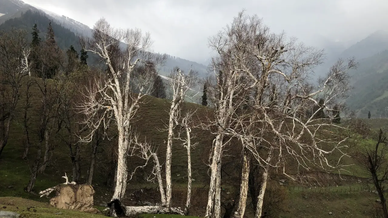
The study, Assessing and forecasting LULC changes in Sindh Forest Range, Kashmir Himalayas, using remote sensing, ARIMA, and random forest models,” analysed land-use and land-cover (LULC) changes between 1980 and 2020 and projected possible trends up to 2050. The paper was published online on June 3, 2026.
The authors, Mir Rizwan Qazi, Farooq Ahmad Lone, and Shaukat Ara, are from Sher-e-Kashmir University of Agricultural Sciences and Technology (SKUAST)’s Division of Environmental Sciences, while Imran Khan and Masroor Majid are affiliated with its Division of Agricultural Statistics. Ashraf is from the College of Agricultural Engineering and Technology, SKUAST. Khushnuma Yatu is associated with Sri Pratap College and Cluster University Srinagar, Reyees Ahmed with the University of Kashmir’s School of Earth and Environmental Sciences, and Ishfaq Hussain Malik with the School of Geography at the University of Leeds. Ishrat F Bhat is affiliated with SKUAST’s School of Agricultural Economics and Horti-Business Management.
Snow Loss
The study examines approximately 81,100 hectares of the Sindh Forest Range in Ganderbal district, covering an elevation range from about 1,500 metres above sea level near Najwan to 5,248 metres at Harmukh.
The research found that snow-covered land fell from 37,392.44 hectares in 1980 to 16,265.48 hectares in 2020, a reduction of 21,126.96 hectares.
Over the same period, barren land expanded from 6,237.21 hectares to 26,692.20 hectares, an increase of 327.95 per cent. By 2020, barren land had become the largest land-cover category in the study area, accounting for 32.91 per cent of the total area.
The researchers also recorded a 27.82 per cent decline in dense forest, from 18,686.58 hectares in 1980 to 13,488.60 hectares in 2020.
However, the open forest cover had increased by 40.19 per cent and scrub forest by 51.07 per cent. The authors interpret these changes as evidence of forest fragmentation and degradation rather than simply complete forest clearance.
Land Shift
The study identifies population growth, agricultural expansion, demand for forest resources, policy and land-management changes, and climate variability as factors influencing the region’s changing landscape.
The research also found a decline in agricultural land, which fell from 2,042.07 hectares in 1980 to 1,581.14 hectares in 2020, a reduction of 22.57 per cent.
Horticulture, however, expanded sharply, rising from 116.47 hectares to 415.98 hectares, an increase of 257.16 per cent. Built-up land increased by 155.19 per cent, while road coverage more than doubled, although roads still occupied only a small fraction of the study area.
The study places these changes in the context of both climatic and human pressures.
Future Trends
To examine what may happen next, the researchers combined two forecasting approaches: the Autoregressive Integrated Moving Average (ARIMA) model and Random Forest multi-output regression.
The models were used to project changes across 11 LULC categories through 2050. The study says the projections indicate relative stabilisation after 2030, although the landscape would remain substantially different from its historical condition. Agriculture is projected to continue declining, while the hybrid analysis indicates potential forest recovery.
The researchers caution, however, that the forecasts are dependent on the assumption that relationships observed in historical data will continue. Sudden changes in climate, policy or extreme weather could therefore affect the accuracy of the projections.
Model Limits
The study also identifies limitations in its forecasting models. While some categories showed relatively strong predictive performance, the Random Forest model performed poorly for several classes, including dense forest and horticulture.
The researchers note that the forecasts are non-spatial, meaning they provide projected changes in the overall areas of land-cover classes rather than showing exactly where future changes could occur. They recommend future research incorporating spatially explicit models and higher-resolution climate and socioeconomic data.
The LULC maps themselves had an overall classification accuracy of 89.76 per cent, with a Kappa statistic of 0.86, based on ground-truth data collected using GPS.
Policy Response
The authors call for targeted measures addressing snowmelt, land degradation and forest fragmentation. Their recommendations include large-scale reforestation and afforestation, community-based forest management and support for climate-adaptive agriculture.
They argue that the hybrid forecasting framework could also be adapted to other data-scarce and environmentally sensitive mountain regions.