Two Europeans named Johnson worked in Kashmir, one as a surveyor, the other as an engineer. Historian MJ Aslam separates fact from folklore surrounding the two men and their work, correcting accounts by Kashmiri writers that have blurred the historical record.
Two Europeans named Johnson had a connection with Kashmir through exploration and engineering. Some Kashmiri authors have not presented them and their scientific works correctly. Their accounts do not follow the historical record.
Survey Mission
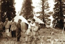
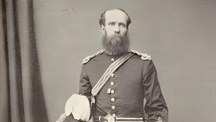
The first was William H Johnson. He was a bold mountain surveyor. He was part of the Great Trigonometrical Survey of India (1801- 1871). The survey was set up to map the territorial boundaries of the British Empire in the Indian subcontinent.
Thomas George Montgomery extended and opened up the field. He led his team into Kashmir in 1855. Johnson served under him. He was specially tasked to map the territorial limits of the Jammu and Kashmir State. The British had already sold the Kashmir valley to Gulab Singh Dogra in 1846.
The British aim was to determine the extent of their dominance in the snowy range. They wanted to stop what they saw as a threatening Russian influence. Godwin Austen calls it ‘so that there were no political difficulties’ for the British Empire (Obituary of W H Johnson, 1883). This colonial project is popularly known as the ‘Great Game’.
The British government, it is said, also wanted to capture the wool trade of the region. It ran through the famous Silk Route (Derek Waller).
The Kashmir Survey Party was formed on January 1, 1855. Sir Andrew Scott Waugh, the Surveyor General, formed it after the government of India granted permission. Montgomery headed it. Johnson was second in command.
Early Life
Johnson was the ‘son of a much respected pensioned Ordnance officer of the East India Company’. He was born at Deyrah (Dehra Dun). He was educated and trained in the civil branch of engineering at Mussoorie and other centres. He had great skill in surveying at higher altitudes.
In April, 1855, the topographical survey of the North West Himalayan region closed in Dehra Dun. Johnson then marched the party from Dehra Dun. He placed it under Montgomery’s charge to start the survey of Kashmir. He had already ‘distinguished himself’ with surveying at high altitudes of the Himalaya. He carried rich experience with him.
Kashmir Mapping
The Kashmir party mapped the geography and topography of the valley. It also mapped the hill states and the borders with Tibet and Kashghar (then part of Central Asia).
In spring 1855, the team began surveying from Pir Panchal. Johnson exhibited great engineering skills there. He took ‘leading part in the triangulation of Pir Panchal which was extended in autumn 1855 by Johnson to Lidder and Sind valleys’ (Historical Records, V: 5, 87, 224). In 1859, the team submitted the first map of the Kashmir valley to the British central government (Historical Records, V: 5, 87, 208).
The Indian mutiny broke out in 1857. Political relations were in a critical state. Montgomery was at Srinagar. He volunteered for the British army. As a result, the principal part of the triangulation of the Kashmir valley fell to Johnson and his team.
Johnson had already ‘selected and built the Trigonometrical Station of Haramukh’ peak of Kashmir. Godwin Austen recorded that ‘The successful completion of Kashmir Survey Party to a great extent depended on Johnson’s exertions’.
Khotan Journey
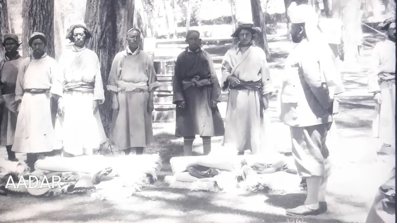
Johnson undertook adventurous expeditions beyond Kashmir territory. He went into East Turkistan and Khotan. He was granted permission to survey in Ladakh. There he received an invitation from the Khan of Khotan. He visited him for two weeks in 1864.
The British did not like it. They described it as adventurism beyond the Ladakh boundary. The government was displeased with him. As a reaction, he resigned from the British geographical Survey (Historical Records, V: 508).
After returning from Khotan in 1864, the Maharaja appointed him governor and joint Commissioner of Ladakh. He had proved his ‘valuable aid’ in bringing ‘geographical knowledge’ beyond the Karakoram. The government of India awarded him a gold watch (Obituary of W H Johnson). He is also credited with drawing the Johnson Line. It demarcates the Karakoram from Tibetan territory.
After completing his mapping of Kashmir, Maharaja Ranbir Singh took him into his service as governor of Ladakh.
Johnson died on March 3, 1883 at Jammu. Godwin Austen, the distinguished topographer and surveyor, recorded that it was ‘under most melancholy circumstances, being fully persuaded that he had been poisoned, and an investigation into the circumstances is pending’.
Harmukh Peak
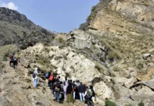
Johnson had to cross numerous glaciers. He had to ascend many difficult high peaks. One of them was Harmukh, some 16,905 feet above the sea. It is in modern district Bandipora.
Montgomery remarked that Johnson was an explorer from boyhood. ‘No height, no amount of snow or ice was sufficient to deter him if an ascent was necessary’ (Historical Records, V: 508).
For Kashmiri Brahmans, Mount Harmukh (Haramukuta) is a sacred Tirtha. The Gangbal lake lies at its foot. Their tradition considers it ‘Shiva’s diadem’. Har is Shiv. Mukh is face. It is Shiva’s face.
Brahmanical mythology also says Parvati lived on the mountain. She was Sati in an earlier incarnation. The mountain remains snow covered throughout the year, like hundreds of others in the region. There are ‘legends clustered around it’.
Stein writes that Kashmiri Brahman tradition ‘stoutly maintains that human feet cannot reach the Peak’s summit’. In September 1894, Dr Stein ascended the peak. His ‘Brahman friends could not give credence’ to his ‘having reached the summit’. ‘According to their opinion’, ‘the very fact of my having reached the Peak was the sufficient proof of this not having been Haramukta’.
Stein concludes that it was ‘an argument as simple as incontrovertible to the orthodox mind’.
Stein adds that Kashmiri Muslims were not immune to superstition either. He says, ‘owing to the superstitions I had great difficulty in inducing any of my two Kashmiri Muslim coolies to accompany me on the ascent I made to the Peak in September, 1894’ (Geography, notes p 91; Raj, Book I: fn 36; ibid, vol II: p 407, n 57, fn 12).
Folklore as History
In miserable ignorance of facts, Peer Hassan Shah Khuihami has written fascinating stories about Harmukh. He says some Raja, without naming him, wanted to climb the peak. Honey bees attacked him and he had to retreat.
In 1271 AH/1855 AD, he writes, ‘Mr Johnson’ failed to climb the peak due to harsh weather. Then ‘Mr Montgomery’ also had to cancel his mission of climbing and surveying the peak (Tarikhi Hassan, I: 98 to 99). Unfortunately, the same folklorish tales have been reproduced in Kashmiri in Kashur Encyclopaedia, Folklore Part I, Vol. 5, pp 322.
Hassan Shah followed popular folktales. He wrote what he apparently heard about Johnson and Montgomery from his ‘friend circle’. He did not inquire into the facts. The result was folklorish stories about the sciences of geography and surveying in Kashmir. It is a distortion of the historical record.
Survey Completed
In 1855, Montgomery was given charge of a party of the Great Trigonometrical Survey. The task was mapping the territories of Maharaja Gulab Singh. The Dogra ruler himself gave it. Montgomery and his team took ten years. They completed the Trigonometrical Survey and mapping of the territories and boundaries of Jammu and Kashmir State in 1865.
Montgomery had ‘sent William Johnson ahead to lay out the advance triangles’. Johnson and other team members ‘suffered from headaches and snow blindness from the glare’. This was in all the mountain ranges of Kashmir. The high peaks are known for ‘hailstorm, with lightning and thunder’.
Finally, he and other ‘surveyors had the joy of recording the bearings of the great peaks, such as Haramukh, Nanga Parbat, and Nun Kun, or Ser Mer’ (R H Phillimore, Survey of Kashmir & Jammu, 1855 to 1865).
At Pir Panchal, ‘the work was consequently closed for that day’ by Johnson and his team. The only cause was troubled weather (Historical Records, V: 223). This insignificant episode gave Kashmiri authors like Hassan Shah a whip for their imagination. So did the compilers of Kashur Encyclopaedia. They wove tales about it.
Second Johnson
The second was Warwick Huson Johnson. He was born on February 7, 1846. At 16, he received engineering training at the Thomason Civil Engineering College, Roorkee. He qualified for the post of Assistant Engineer in the Indian Public Works Department.
He was appointed to the Department in 1865. He served at several engineering works of British India. In 1884 he became Executive Engineer. In 1893 he was elevated to Superintending Engineer. He served the Indian Public Works Department for 34 years.
He constructed some canals in Jammu. He built bridges and roads in Punjab and Khyber. He died in 1899. He was the Chief Engineer of the Indian Public Works Department.
Gilgit Road
From 1889 to 1892, his services were called in to construct the Bandipora Gurez Gilgit road. The Political Agent of Gilgit specially recommended him. He made great exertions in surveying the whole distance from Bandipora to Gilgit.
He submitted his proposals about the road to the State Council. They included a bridge over the Indus at Bawanji. It was a comprehensive scheme. After its adoption, completing the road became a mere question of time.
The road was essentially military. Construction went to M/S Spedding & Co. Charles Spedding, Chief Engineer of the East India Company, founded the company. The British Government appointed Spedding to ‘greatly facilitate the transport and render the notorious, oppressive Begar unnecessary’. So claims his cousin, the famous EF Knight, author of Where Three Empires Meet.
Warwick Huson Johnson accompanied and assisted Spedding. On arriving at Srinagar, Johnson took charge as head of the Kashmir Public Works Department.
Northern Campaigns
Spedding volunteered his services to Colonel Durand. Durand was appointed Political Agent of Gilgit in 1889. He launched the Hunza Nagar campaign in 1891. The people of the Kanjut valley (Hunza Nagar) were against his ‘expeditions’ in this region.
E F Knight supported British military adventurism in the northern territories of the valley. Frederic Drew served the Dogra Maharaja for a long time. He similarly tried to justify Gulab Singh Dogra’s foreign military action against Chilas in 1851 to 1852. He called it ‘a punitive expedition against’ what he termed ‘raiders’ and ‘plunderers’ from Chilas into Kashmir.
Leitner was an outstanding authority on the northern areas. He says a ‘recent writer’, Drew, ‘ ignorant of Dard Languages and History’ tells us that Dogras ‘took Chilas in order to protect Kashmir from raids (which had ceased for 42 years)…Fortunately, we have official and other reports written before the passions of the moment obscured historical truth, and these Reports will long bear witness against the vandalism and folly by which our Northern Barrier of India was broken down and a military road was constructed for an invader (Dogra ruler) to the heart of the Panjab’.
Gurez Legacy
Note the aftermath of the Indira Abdulla Accord of 1974. Gurez valley was the midway stage on the notorious slave labour (Begar) road of Bandipora Gilgit. Eyewitnesses described the road as ‘perfect Golgotha’.
The valley lost its real significance in the historical record. Over glorification of this tiny valley took its place. A peak and a spring here were named after Habba Khatun. Her television film was telecast many times. All this served the political objectives of the time.
(Historian and Author, MJ Aslam’s History of Kashmir (in three volumes) in 2024; Some History Essays and Some Kashmiri Proverbs and Traditions in 2026)