After trekking across more than 100 high-altitude lakes and walking deep into Kashmir’s wilderness for over two decades, Mahmood A Shah has compiled a rare coffee-table book that captures the region’s valleys, watersheds, and alpine life through his lens, writes Babra Wani

For over two centuries, a discreet sub-sector of Kashmir’s tourism has thrived on the slopes of its rugged mountains. Hunting guides and trekking managers, often working for foreign explorers, carved a niche through their unmatched knowledge of terrain and survival. Their names live on, but their legacy was largely a professional engagement, rarely imitated by the native population.
That pattern is now shifting.
Kashmir’s youth are increasingly venturing into its wilderness, drawn by the pull of the peaks, driven not by commerce but by connection. As twilight spills across the Pir Panchal and Harmukh ranges, a new breed of trekkers answers the call of the wild, embracing the land not merely as scenery but as a living companion. Among them stands Mahmood A Shah, whose passion for Kashmir’s uncharted trails has taken him further than most.
Mapping Watersheds
A government officer by profession, Shah has long pursued trekking as a personal calling. Now, his decades of mountain journeys have found form in a forthcoming coffee-table book, Valleys of Jammu and Kashmir, which he describes as a “trekker’s ode to the mountains.”
With its clean layout and sharp photography, the book is structured into 18 chapters, each named after distinct watersheds, from Ningal to Dudh Ganga, from Rembiara to Jhelum, and from Liddar to Dagwan. The visual narrative features a collection of photographs showcasing mountain ranges, alpine passes, and glacial lakes. Each chapter contains brief yet vivid descriptions, usually in a paragraph or two, capturing the essence of each location.
Shah has kept the language plain yet evocative, allowing the majesty of the terrain to speak through its names, textures, and silence.
Man of the Mountains
What sets Shah apart is not only his documentation but the depth of his exploration. Over the past two decades, he has trekked more than 100 high-altitude lakes across Jammu and Kashmir, making him the first Kashmiri known to have done so. His contributions to the Jammu and Kashmir Mountaineering and Adventure Club (JKMAC) have been significant, and he is also affiliated with the Indian Mountaineering Foundation (IMF) and the Youth Hostel Association of India (YHAI).
His journey began in 1989, when he first stepped into the alpine world. Born and raised in Srinagar, Shah said the mountains had always held an almost magnetic pull. “Trekking has been a way of life for me for over 25 years,” he said. That passion intensified in 2002, when he began to pursue trekking more seriously.

Since then, he has completed more than 100 organised treks and documented 112 alpine lakes. “I have always felt a deep urge to explore Kashmir,” he said, describing the terrain as a source of both personal meaning and public heritage.
Shah’s book stands not only as a record of personal endurance but also as an invitation. It encourages Kashmiris to view their land through a different lens, to walk its slopes and sit by its high lakes not as tourists but as inheritors.
While foreign explorers once needed local guides to cross the same routes, today Kashmiris like Shah are scripting their journeys, ones defined not by maps from abroad, but by footsteps that begin at home.
A Trekker’s Vision
Mahmood said the idea behind compiling the Valleys of Jammu and Kashmir was to leave behind a meaningful legacy that not only showcases the breathtaking landscape but also encourages its preservation. He explained that the most challenging part of the process was not the research itself, but finding the right weather conditions to capture the photographs.
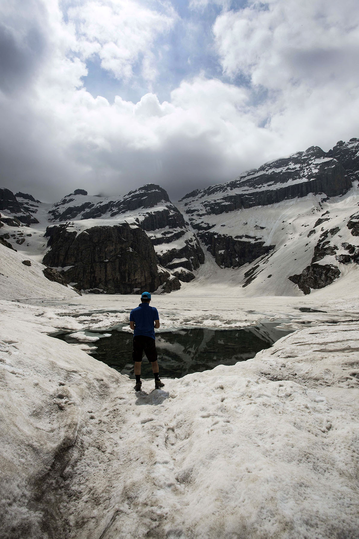
All the visuals in the book were captured by Shah over decades, some with a professional camera, others with a mobile phone. Selecting the final images for publication was a meticulous task. He aimed to choose photographs that would collectively illustrate the Pir Panjal, the Greater Himalayas, and the Sindh Valley in an anti-clockwise arc across the region.
This is the first coffee-table book dedicated to Kashmir’s mountain landscape. Shah said he felt a strong need to fill that void. He did not see it as merely a picture book. Instead, he described it as a tool meant to inspire and inform trekkers, help them visualise the terrain, and encourage exploration.
Trekking as Learning
For Shah, trekking is more than movement through space; it is a form of learning. He believes every expedition brings new knowledge about geology, flora and fauna, and the cultural heritage of a place. According to him, it also fosters intellectual and emotional resilience. This spirit, he said, has guided JKMAC.
Reflecting on his encounters with local communities, Shah described them as truly remarkable. He called them “people with big hearts living in small homes,” and said they had always been warm, supportive, and inspiring throughout his journeys.
Shah chose to self-publish the book, explaining that he wanted complete creative control over the project.
Pictures and Prose
Having completed a visual documentation of Kashmir’s valleys, Shah is now working on a second book, this time more textual, drawing on anecdotes and historical references. While reflecting on the shift in form, he emphasised that celebration alone was not enough. He pointed to Kashmir’s fragile ecology, warning that forests were no longer regenerating. The region, he said, had already crossed its carrying capacity. Without immediate action, he feared that within a few decades, Kashmir might lose its remaining forests. He saw the book not just as a tribute to nature, but also as a call for its protection.

The current book also includes photographs of a wide range of flora and fauna encountered during his treks. These include birds, mammals, reptiles, and alpine flowers, offering glimpses into ecosystems rarely seen by those confined to urban life. Among the rarest images is one of a Hangul, the endangered red deer once designated as the state animal of the former Jammu and Kashmir. Shah also provided updated figures for the remaining Hangul population in Dachigam Wildlife Sanctuary.
A Guide to the Wilderness
In addition to photography and narrative, Shah has attempted to provide practical information for fellow trekkers. The book includes rough maps leading to each location, descriptions of trek routes, and the elevation of each valley. These details, he said, could assist travellers in planning their journeys more efficiently.
He also shared personal reflections on capturing many of the images, offering readers not just a visual record but an emotional one. His commentary adds a personalised layer to the landscapes, situating the reader alongside him on remote trails and at quiet, wind-whipped summits.
Jammu and Kashmir has around 2106 high-altitude lakes, together covering approximately 110,131 hectares of water surface.
The book’s foreword has been written by Australian writer and trekker, Garry Weare, who has been associated with Kashmir for more than fifty years.